


Neo Space Group: Accelerating Geospatial Impact
From Observation to Action: Enabling Real-Time Decisions with Sovereign Space SolutionsAugust 25th, 2025
As global reliance on Earth Observation (EO) continues to accelerate, demand is shifting from raw satellite imagery to end-to-end geospatial intelligence — insights that are timely, trusted, and tailored to mission-specific needs. Neo Space Group (NSG), a provider of satellite communications, geospatial, and PNT services, wholly owned by the Public Investment Fund (PIF) and aligned with Saudi Arabia’s Vision 2030, is meeting this demand with a differentiated model — blending sovereignty, scalable infrastructure, and global interoperability.
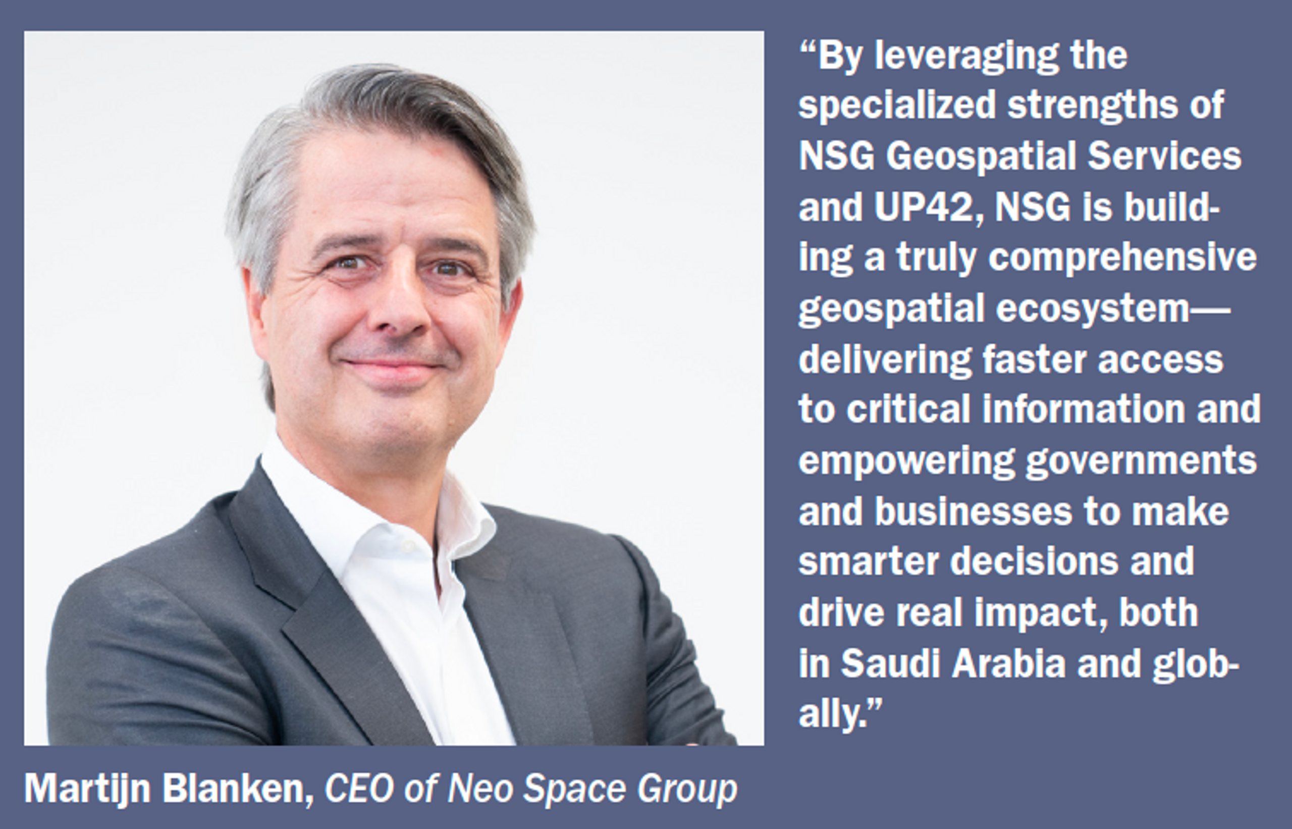
As one of NSG’s business domains, the geospatial portfolio combines two core pillars: NSG Geospatial Services, specializing in advanced analytics and mission-specific solutions; and UP42, a company fully owned by Neo Space Group, which operates a global digital marketplace providing access to diverse EO data, processing algorithms, and on-demand analytics. Together, they deliver seamless geospatial capabilities — from data acquisition to actionable intelligence — serving both government and commercial customers.
With a growing marketplace platform, strong upstream data partnerships, and downstream services spanning government, environmental monitoring, infrastructure, and emergency response, NSG helps clients — from ministries to multinational companies — transform how they monitor, interpret, assess risk, and make strategic decisions.
A Modular, Mission-Oriented Geospatial Ecosystem
NSG’s strategy is built around one core principle: delivering real-world outcomes through a connected ecosystem of data, platforms, and services.
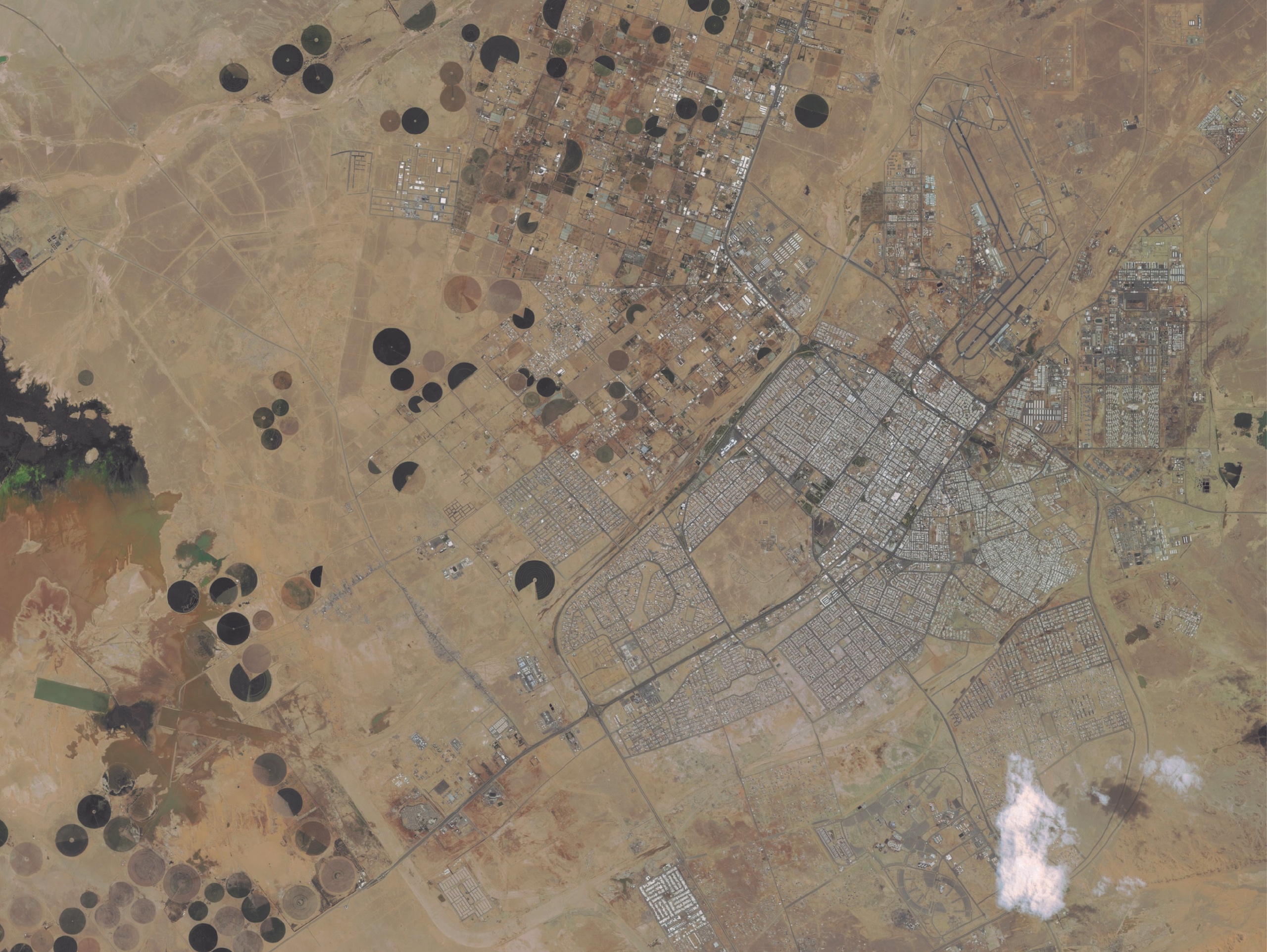
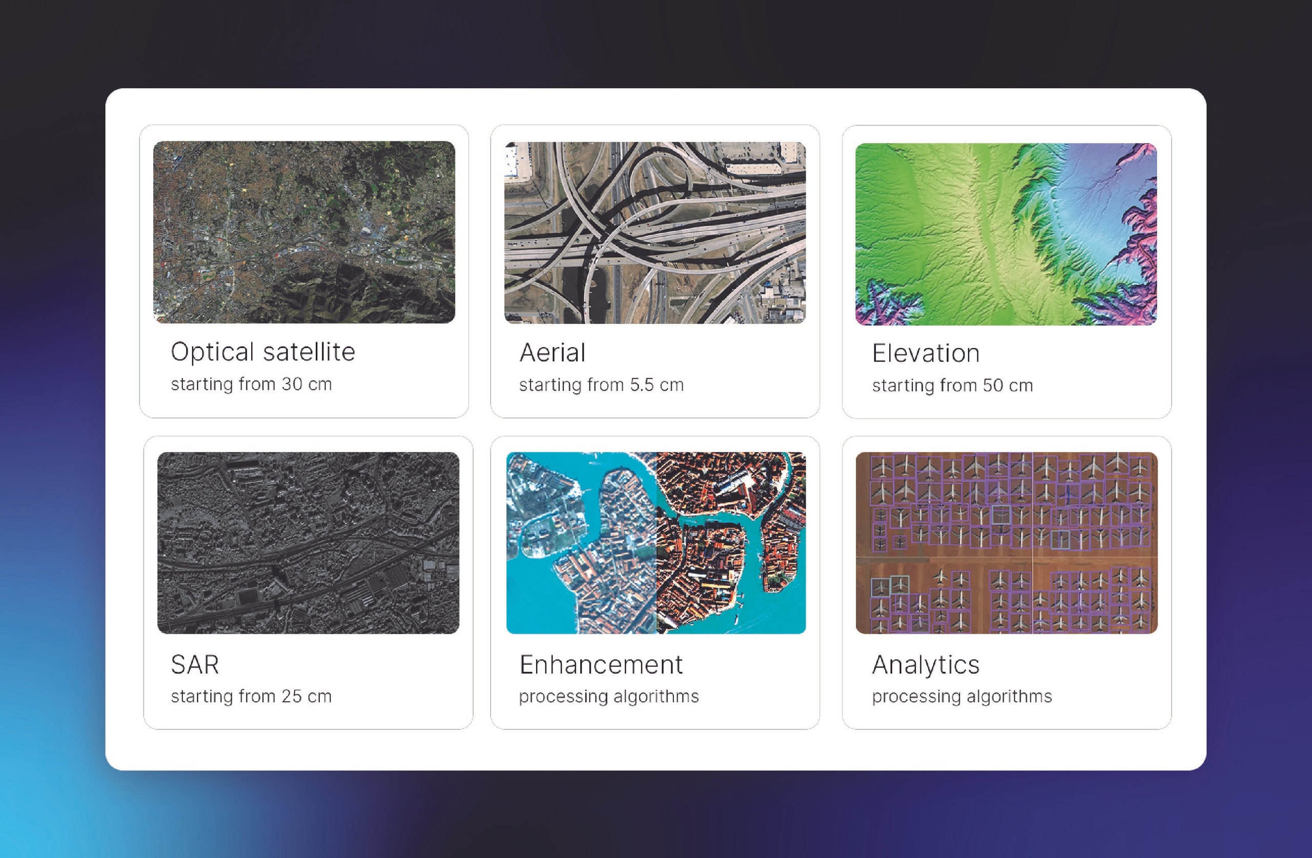
Rather than consolidating all components under one roof, NSG adopts a flexible, partner-driven model. The company collaborates with leading satellite operators and aerial imagery providers to provide access to diverse datasets — including optical, radar (SAR), hyperspectral, aerial and thermal imagery — across varying resolutions, revisit rates, and geographies.
This upstream openness is paired with a secure digital marketplace platform that enables users to search, task, and analyze EO data through intuitive APIs and workflows at scale. Downstream, NSG’s service teams provide analytics customization, operational delivery, and domain-specific consulting.
The result is a horizontal integration approach — combining upstream data, midstream processing, and downstream services into a modular ecosystem that scales faster and captures market share more efficiently.
By orchestrating the value chain in this way, NSG allows clients to focus less on managing infrastructure and more on extracting actionable impact — whether it’s rapid tasking during a disaster, long-term environmental monitoring, or AI-driven object detection for strategic operations.

UP42: The Platform Driving Insight at Scale
At the center of NSG’s offering is its cloud-native geospatial platform — UP42. Originally built as a commercial digital marketplace for EO, it has evolved into a scalable engine for discovery, processing, and automation.
The platform brings together a wide range of data and analytics sources, enabling users to combine data types, integrate their own sources, and run analysis pipelines without switching tools or negotiating multiple contracts. With a SpatioTemporal Asset Catalog (STAC)-compliant structure, analytics-ready workflows, and an API-first architecture, the platform is designed to serve both technical specialists and non-technical users across a wide range of sectors.
Localization, compliance, and flexibility are central to its design: the platform is SOC-2 and GDPR compliant with a strong focus on data privacy. For commercial customers, it offers flexible access through a web interface, API, or Python SDK, and a usage-based model that enables cost-effective scaling.
UP42 supports users worldwide across sectors including government, energy and infrastructure, environment and forestry, mining, oil and gas, as well as engineering and construction. Typical applications include vegetation management, infrastructure monitoring, open-pit mining surveillance, construction site selection, and tracking afforestation or deforestation, among other use cases.
Let’s take a closer look at real-world case studies to see how these capabilities deliver tangible results for customers on the ground:
• CarbonStack is a Germany-based company that aims to accelerate carbon neutrality through afforestation projects of damaged forests in Europe, offsetting currently unavoidable emissions. To ensure transparency, traceability, and quality assurance, CarbonStack uses satellite imagery and blockchain technology. They acquire high-resolution 30 cm Pléiades Neo satellite imagery through the UP42 platform and then apply a machine learning algorithm that categorizes trees by species and growth stage to measure their carbon offsetting capabilities. Pléiades Neo’s acquisition capacity of 2 million kilometers squared per day, along with flexible minimum area of interest requirements and pricing, allows CarbonStack to order images of the exact scenes they desire. This approach significantly reduces costs and saves time compared to previous drone methods. Using UP42, CarbonStack has analyzed over 1.5 million trees across Germany, Austria, and Switzerland.
• Ubicube is an Austria-based startup that transforms complex geodata into actionable insights to power use cases such as measuring building footprints, solar installation, and land surface classification. The challenges they faced: processing high resolution satellite imagery at scale to monitor large areas is computationally intensive, and accessing high quality data across different regions and time periods is difficult. UP42’s platform provided Unicube with access to unified and harmonized data from a wide range of geospatial sources, transparent pricing, and flexible access through the API and Python SDK, allowing them to automate workflows and facilitate more seamless downstream integrations. This collaboration resulted in a 28 percent reduction in data acquisition costs, approximately 30 percent less data preprocessing time, and 40 percent faster project delivery.
• AnyWay Solutions is a Canada-based company that provides climate-resilient solutions to the global transport infrastructure industry, specializing in enhancing the resiliency of transportation networks in developing nations. The geographic challenges associated with remote areas demand unique data acquisition methods, and while Earth Observation was an obvious choice, they struggled with collecting accurate data and integrating diverse formats from various commercial EO providers. Using the UP42 platform to access satellite, aerial, and elevation data in one place, AnyWay could choose their provider based on the type of data and resolution needed, edit parameters such as cloud cover, and see a price estimate before placing their order. UP42 harmonizes data into a standardized cloud-native format, which further removes the complexity of working with different types of data. As a result, complex projects like route alignment optimization that traditionally took years were completed in just a few months, improving safety and efficiency.
Serving Government and Commercial Missions Alike
NSG’s customer base spans government agencies, infrastructure operators, environmental organizations, and technology companies. While each sector has unique needs, they share common priorities: agility, automation, and actionable insight.
In the government sector, NSG supports missions such as border monitoring, maritime domain awareness, disaster response, and urban planning. By combining rapid satellite tasking, AI-driven change detection, and operational support services, NSG helps agencies move from static, map-based intelligence to continuous, real-time situational awareness.
In the commercial sector, NSG works with industries including energy, insurance, logistics, and agriculture — enabling applications such as asset monitoring, vegetation management, and risk modeling. The platform’s modular architecture allows seamless integration into enterprise systems, feeding directly into decision-making pipelines in real time.
Across both domains, NSG brings together data, processing, and expertise within a secure, trusted environment — delivering speed, clarity, and operational efficiency.
Accelerating Time-to-Value
NSG’s ecosystem is designed to shorten the gap between observation and action. By removing bottlenecks in data acquisition, automating analytics, and enabling on-demand tasking, NSG helps organizations make faster, smarter decisions. Whether it’s responding to an emerging security event or tracking year-over-year environmental change, clients benefit from reduced latency, broader coverage, and intelligent prioritization.
Operational efficiency is another key advantage. Users can consolidate multiple data needs under a single contract, avoid redundant procurement, and scale services as mission requirements evolve — lowering cost while improving strategic agility.
Sovereign Infrastructure, Global Perspective
While sovereignty is a top priority — especially for governments managing sensitive data — NSG’s model is built for global scalability. The platform’s architecture and governance frameworks meet strict national compliance requirements without limiting international reach or innovation.
Clients in regions with regulatory or security sensitivities can host and process data locally, while still accessing the depth and diversity of global EO sources.
This balance between local control and global capability positions NSG as a trusted partner for both advanced economies and emerging markets looking to accelerate their geospatial readiness.
As demand for geospatial solutions grows — across climate resilience, smart infrastructure, and digital twin initiatives — NSG is actively expanding its footprint through strategic partnerships and reseller networks across EMEA, Asia-Pacific, and Latin America.
Outlook: Shaping the Next Era of EO Intelligence
In today’s evolving data landscape, the challenge isn’t just accessing geospatial data — it’s about turning it into decision-ready intelligence, faster and more effectively.
NSG addresses this need with a future-ready model: combining upstream data access, platform intelligence, and mission-driven services into a flexible, interoperable ecosystem.
With its platform now well-established across multiple markets — and services scaling in both public and private sectors — NSG is driving the next wave of EO-enabled transformation.
From national security to environmental monitoring and infrastructure management, NSG is helping clients shorten the gap between observation and action — accelerating real-world impact with speed, scale, and mission-critical precision.
For more information, contact us at: info@neospacegroup.com